Trinity Pro Drone
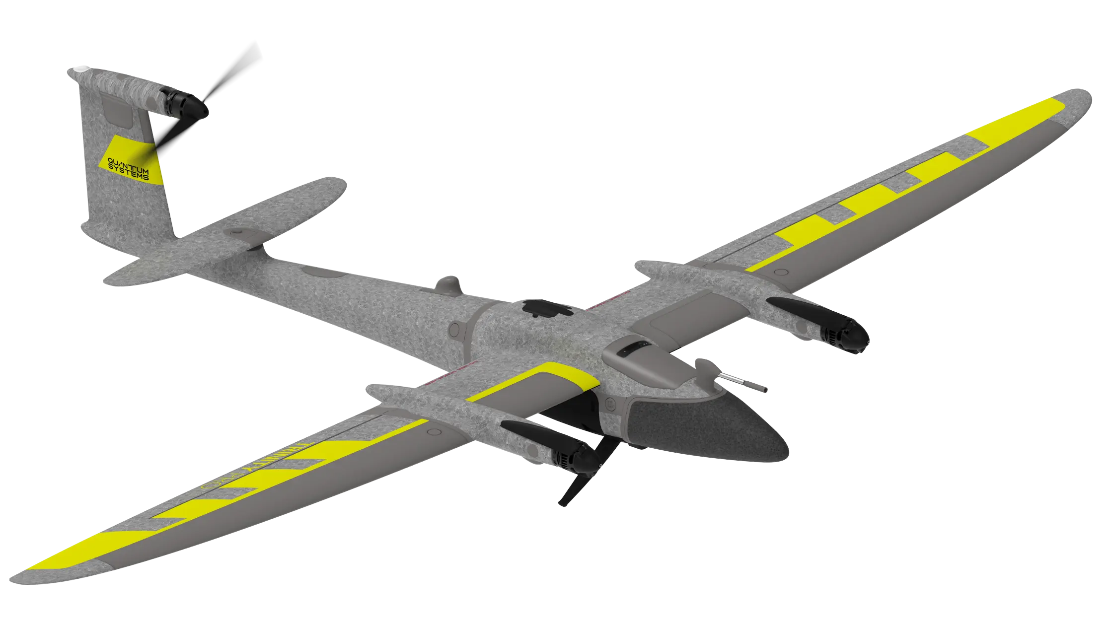
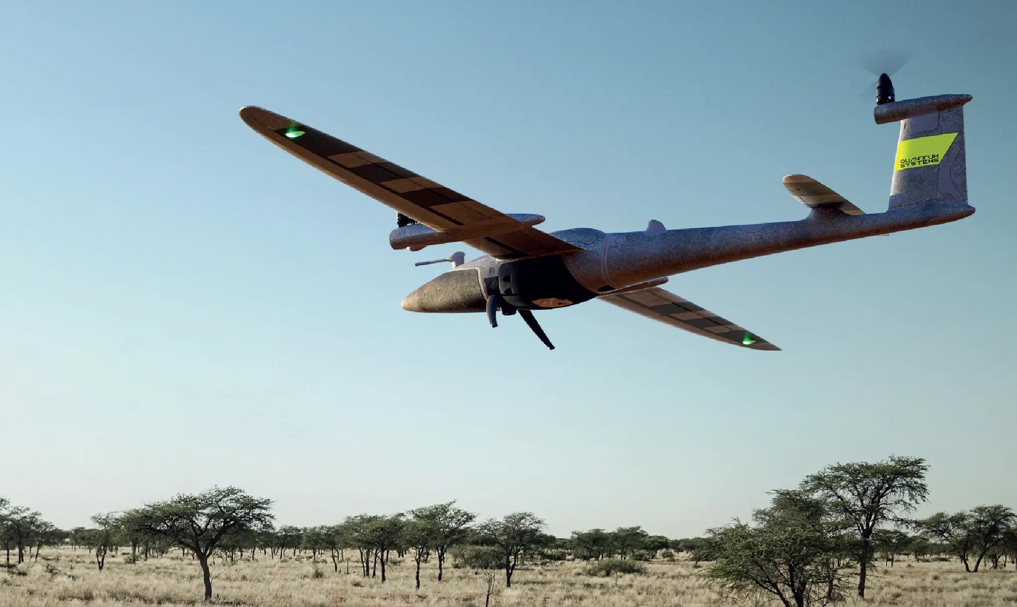
Trinity Pro is a future-proof mapping drone designed to adapt to changing requirements and accelerate decision-making through advanced aerial data.
It features an extended flight time of 90 minutes and easy to use mission planning software QBase 3D. The choice of integrated cameras is unrivaled – RGB, Oblique, Multispectral and even LiDAR – making it the right tool for any mapping application.
GET IN TOUCH WITH AN EXPERT
Accomplish Your Missions with Ease
The Trinity Pro incorporates the latest technology with the Quantum-Skynode autopilot and the Linux mission computer. This technology delivers increased computing power and internal storage, as well as enhanced connectivity onboard the aircraft.
Not only does this allow downstream integration of next-generation cameras, but also of logging, simulation and AI capabilities. These integrations reduce processing steps and office time, and provide answers quickly and accurately.
A future-proof, reliable and easy to use mapping solution
Trinity Pro is designed to adapt to changing requirements, evolve in capabilities, and accelerate decision making through aerial data. Future integrations like AI capabilities give new insights and help professionals in various industries to make more informed decisions and drive their business forward.

Designed to evolve
Ready for tomorrow.
Add Trinity Pro to your portfolio and it will take you into the future. The platform has proven its performance, reliability and accuracy since market launch in 2018. The new Trinity Pro incorporates the latest technology including a new autopilot, making it ready for the future.
Trinity Pro Cameras
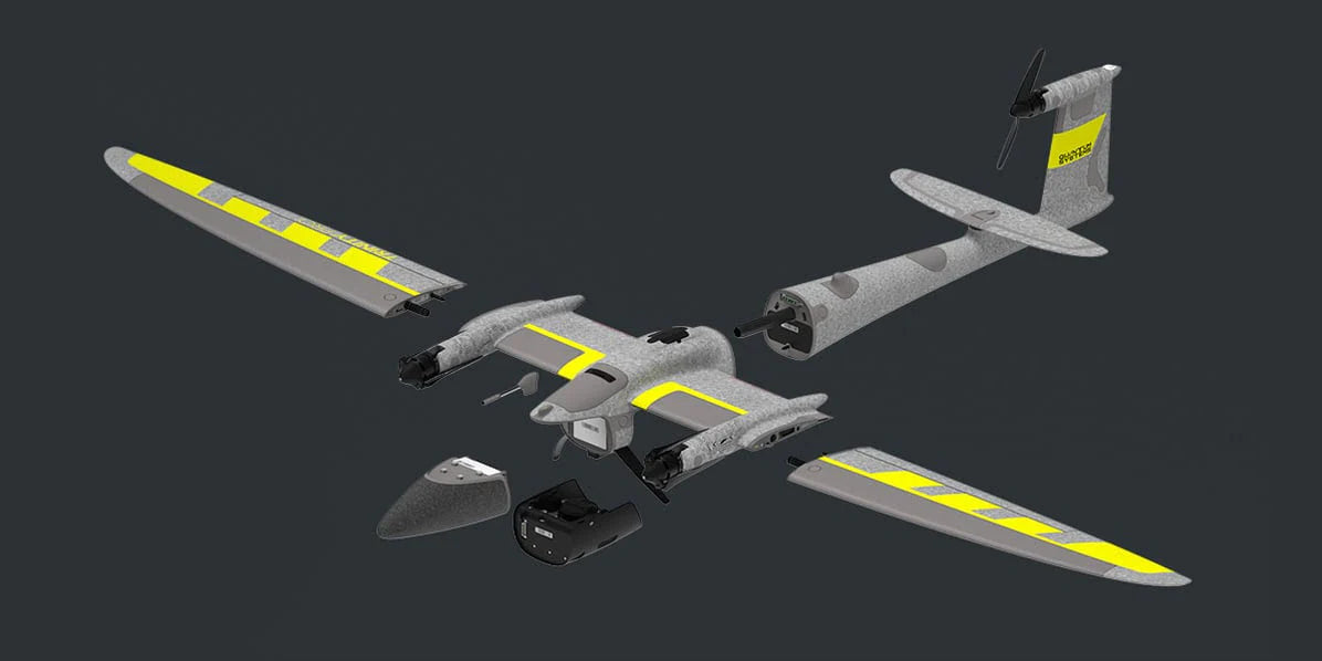
Trinity Pro users have the choice between five different fully integrated cameras, including RGB, oblique, multispectral and LiDAR. They are easy to swap using the quick-lock mechanism of the payload compartment. The entire system architecture allows easy downstream integration of next generation cameras and simpler workflows.

GET IN TOUCH WITH AN EXPERT
Package Contents
- Trinity Pro Drone x1
- ibase Reference GNSS Base Station x1
- Air Data Probe x1
- QBase 3d Software - Ground Control Station x1
- Manual Controller x1
- Battery Pack x3
- Charging Unit x1
- Anemometer x1
- Lightweight Transport Case x1
Cameras and Sensors Sold Seperately


